Exploring Ancient Connections: Babylon to Jerusalem Distance and Rome’s Influence
To understand the geographical relationship between Ancient Babylon and Jerusalem, as well as their connections to Rome, it’s essential to explore the ancient maps and historical context of these regions. Let’s delve into the distances, routes, and significance of these locations in the ancient world.
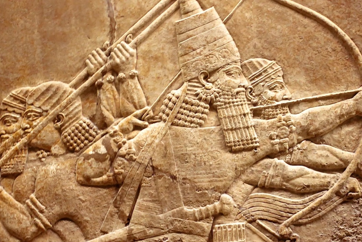
Ancient Babylon and Jerusalem were both pivotal cities in the ancient Near East, with rich histories and cultural significance. Babylon, located in present-day Iraq, was one of the most powerful and influential cities of antiquity, renowned for its towering ziggurats, advanced irrigation systems, and the Hanging Gardens, one of the Seven Wonders of the Ancient World. Jerusalem, situated in the heart of the Judean hills, held deep religious significance for the ancient Israelites as the capital of their kingdom and the site of the Temple, the holiest place in Judaism.
The distance between Ancient Babylon and Jerusalem was approximately 500 miles (800 kilometers), a journey that could take weeks or even months to complete depending on the mode of transportation and prevailing conditions. Ancient travelers would have traversed rugged terrain, crossed rivers and deserts, and navigated through various kingdoms and territories along the way.
As for Rome‘s connection to Jerusalem, it is primarily rooted in the historical and political dynamics of the Roman Empire. Rome, the capital of the vast empire that spanned across Europe, North Africa, and the Middle East, exerted considerable influence over the affairs of Jerusalem and the surrounding regions. The Ancient Rome map would depict the extent of Roman control, with Jerusalem situated in the eastern province of Judea.
The relationship between Rome and Jerusalem was complex, marked by periods of cooperation, conflict, and conquest. In 63 BCE, Jerusalem fell under Roman rule when Pompey the Great captured the city and incorporated it into the Roman Republic. Over the centuries, Jerusalem became a focal point of Roman administration and religious tension, culminating in the Jewish Revolt of 66-70 CE and the subsequent destruction of the Second Temple by the Roman legions under Titus in 70 CE.
The Ancient Babylon to Jerusalem distance map and the Rome and Jerusalem map would illustrate the interconnectedness of these ancient civilizations and the flow of goods, ideas, and peoples across vast distances. While Babylon and Rome may have been separated by great distances geographically, their influence extended far beyond their borders, shaping the course of history and leaving an indelible mark on the lands of the ancient Near East.
In conclusion, the Ancient Babylon to Jerusalem distance map and the Rome and Jerusalem map offer glimpses into the intricate web of connections that defined the ancient world. From the towering ziggurats of Babylon to the grandeur of Rome’s imperial architecture, these maps invite us to explore the intersections of civilizations, the ebb and flow of empires, and the enduring legacy of human endeavor across time and space.